


Kicking Horse Canyon Phase 4
High-order LiDAR deformation monitoring for complex slope stability and geohazard identification on Trans-Canada Highway.
View Case Study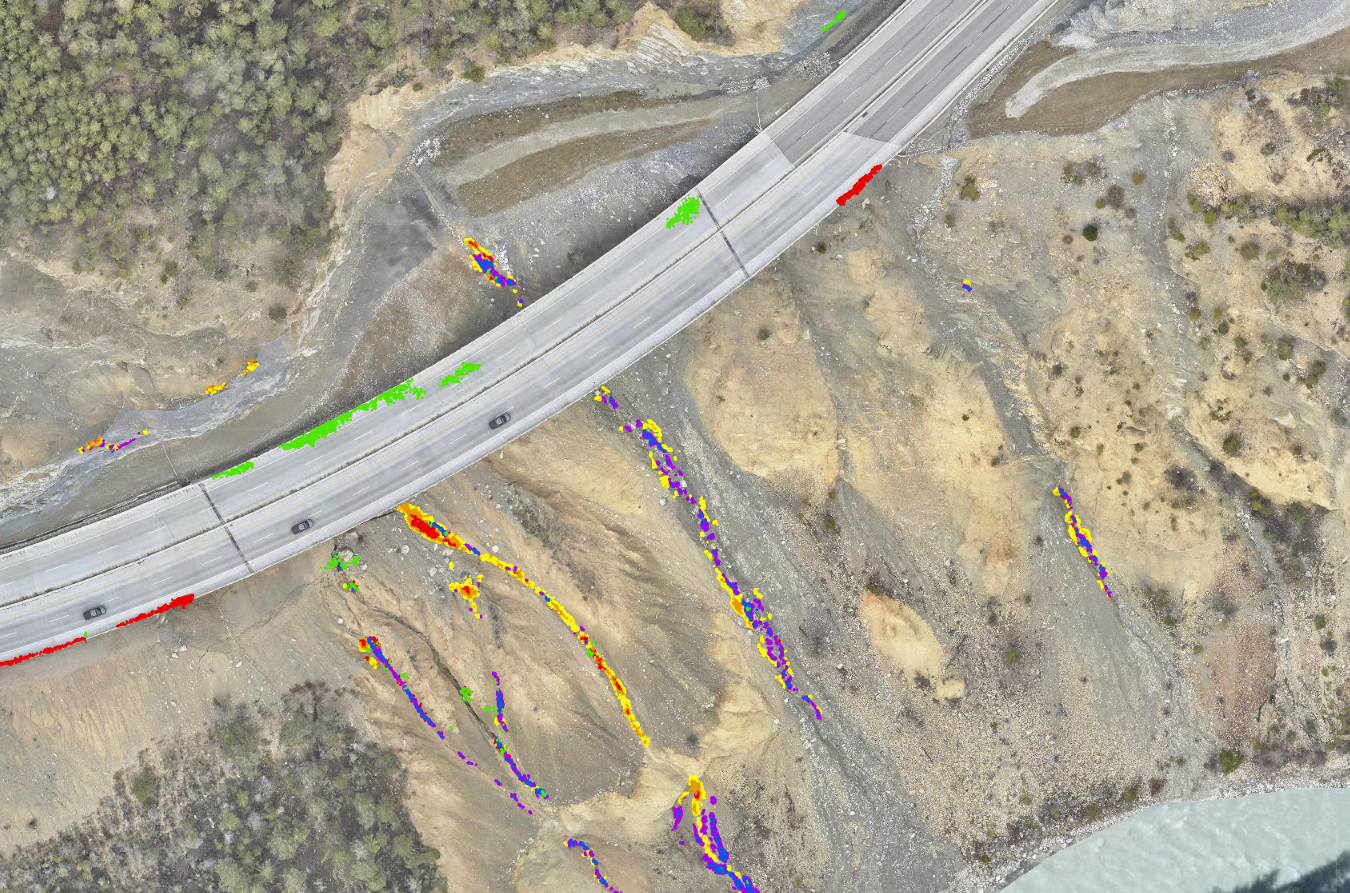
Jasper Fire Response

Rapid LiDAR and ortho-imagery deployment to assess post-wildfire damage and geohazard risks for Jasper's recovery.
View Case Study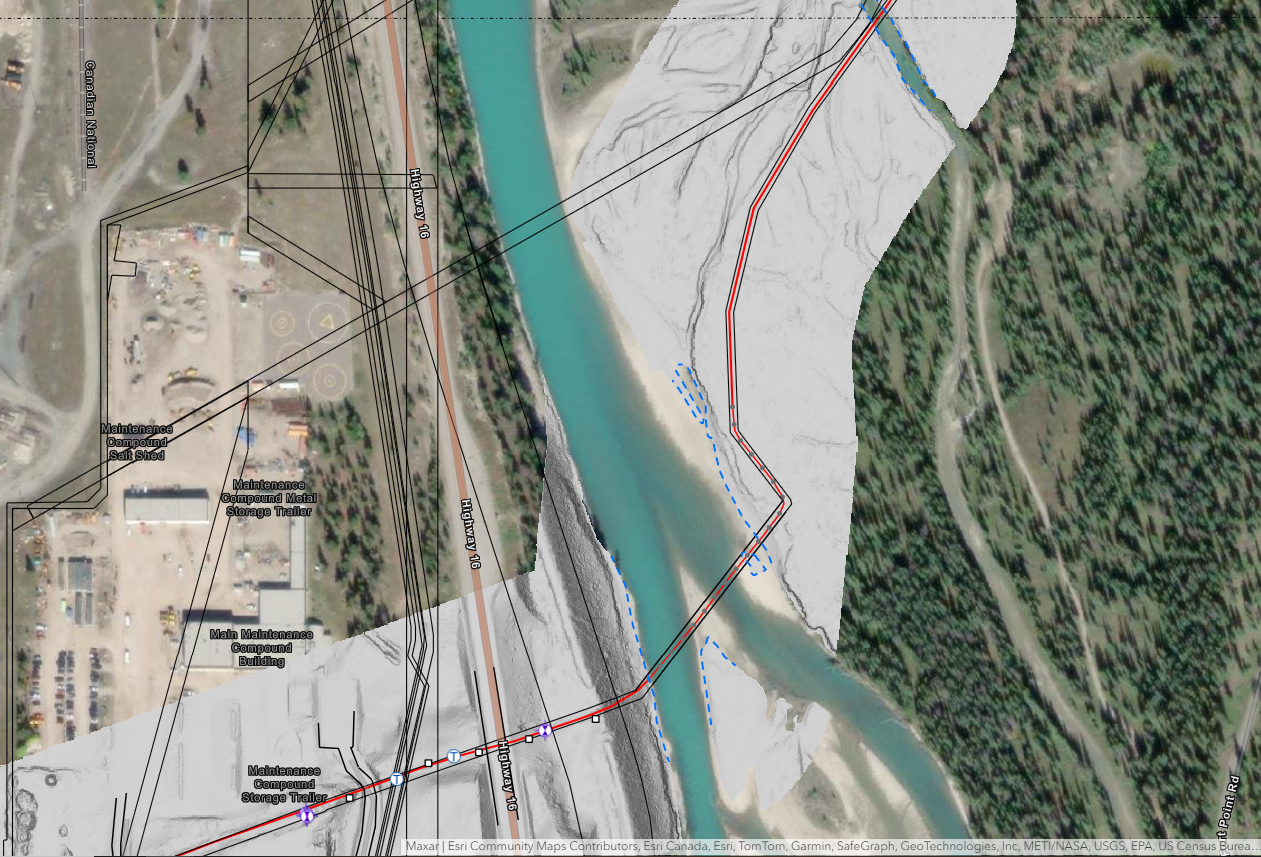
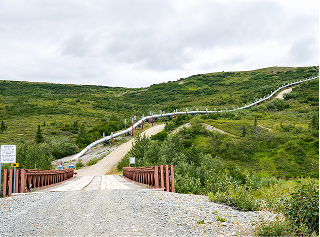
Geotech Program
Scalable hybrid GNSS and LiDAR monitoring for high-precision surface deformation tracking across major energy infrastructure.
High Density LiDARMovement MonitoringMSI GeoviewPipeline integritySpecialized Geomatics EngineeringUAV Solutions and Terrestrial Laser Scanning
View Case Study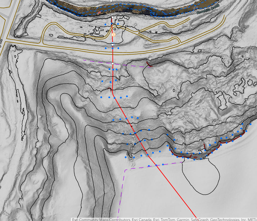
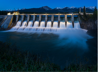
Hydro Program
High-precision Depth of Cover monitoring at over 2,000 volatile watercourse crossings across North America.
Bathymetric SurveyingHigh Density LiDARMSI GeoviewPipeline integritySpecialized Geomatics EngineeringUAV Solutions and Terrestrial Laser Scanning
View Case Study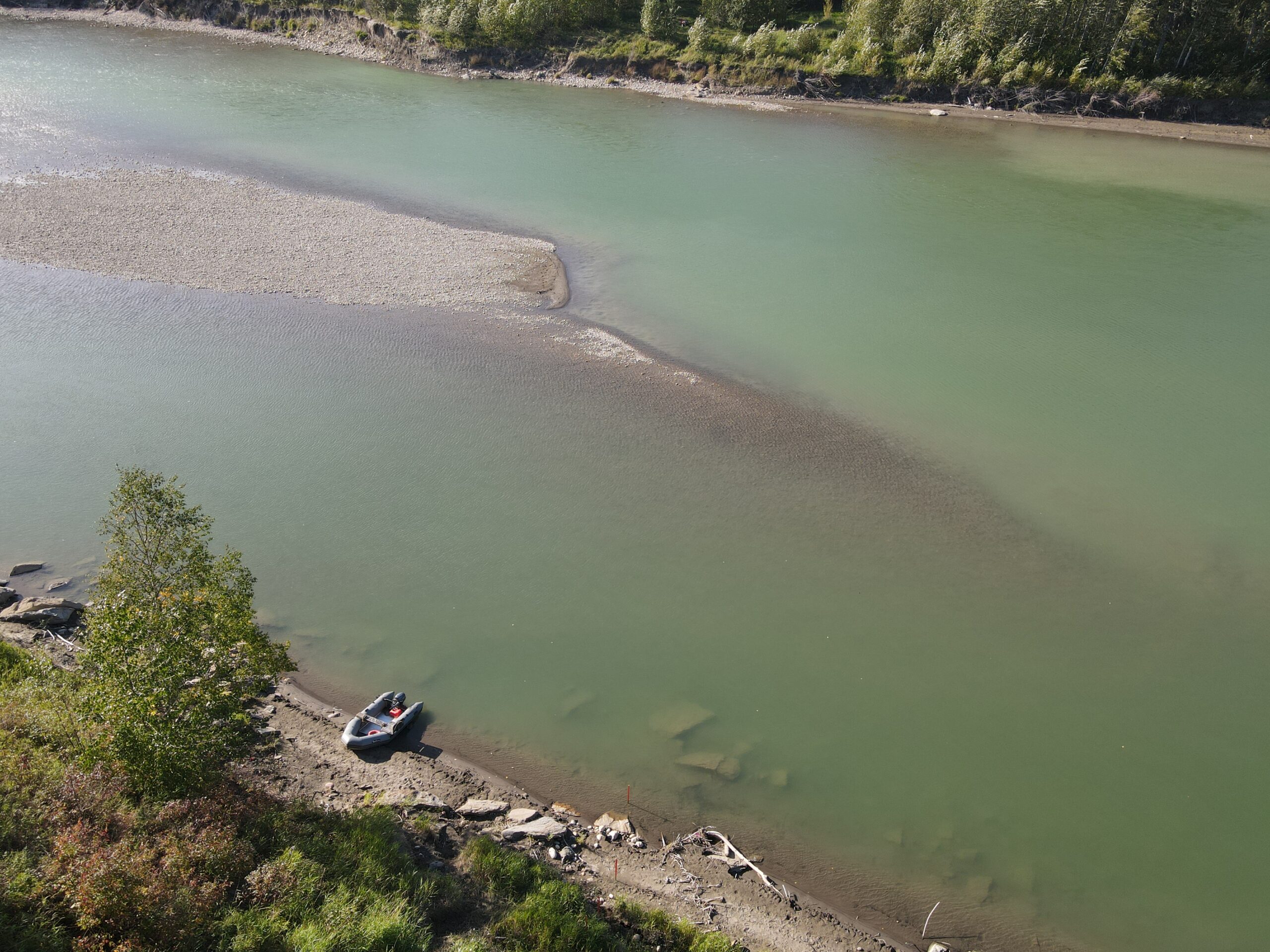
LRT Monitoring

High precision laser scanning monitoring ensures Calgary LRT stability during adjacent multi-story building construction.
View Case Study
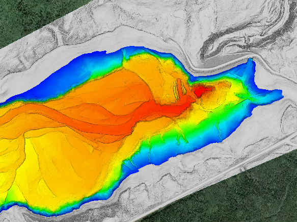
Barrier Lake
High density multibeam and LiDAR fusion reveals submerged river channels and provides TransAlta’s first complete reservoir digital twin.
View Case Study