
Kicking Horse Canyon Phase 4 (KHCP4): High-Order LiDAR Deformation Monitoring
Executive Summary
Primary Objective: Weekly high-density LiDAR and change detection for slope stability and hazard identification.
- Clients: BC Ministry of Transportation and Infrastructure (MoTI)
- Location: Golden, British Columbia (Trans-Canada Highway)
- Leaders: Andrew Healy, P.Eng., ALS
- Duration: March 2021 – November 2025 (130 Epochs)
Complexity & Evolving Mandates
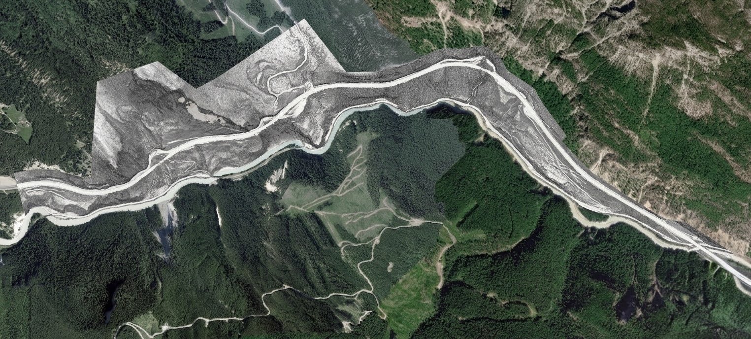
The Kicking Horse Canyon expansion is one of North America’s most complex highway realignments. MSI was tasked with monitoring the final 4.8 km of the canyon—a stretch defined by sheer mountain faces and extreme geohazard risks.
The Problem
Technical Constraints
Evolving Needs
High-Density LiDAR and Detailed Change Detection
Epoch-Based Deformation Analysis:
The project utilized a multi-epoch survey strategy, establishing a baseline and performing comparative analysis on all subsequent site visits to track movement over time.
Integrated Workflow:
MSI established a mobile office vehicle to process data while traveling. Processing commenced immediately post-flight, with teams working through the night to ensure stakeholders had actionable data by the next day.
High-Density Surface Mapping
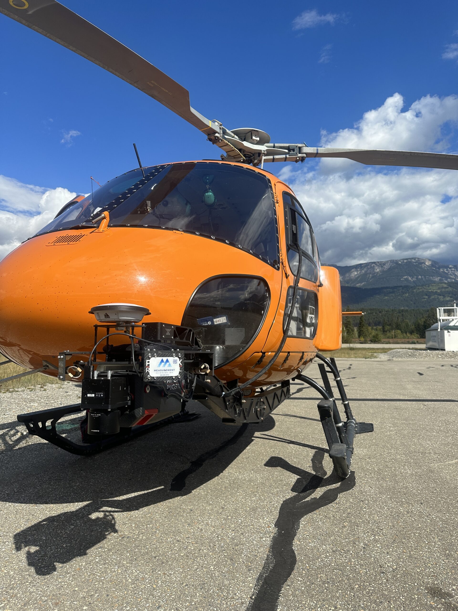
Utilized a helicopter-mounted LiDAR sensor with terrain-following technology. This allowed the aircraft to maintain a constant altitude relative to the steep canyon walls, ensuring a uniform point density of 100+ pts/m2 on the bare earth surface
Accountability & Data Performance
Mission Success:
Successfully executed 130 snow free epochs throughout the life span of the project.
Geometric Accuracy:
Achieved an average Vertical Root Mean Square Error (RMSE) of 3.8 cm
High-Resolution Visuals:
Delivered orthophotos at 4cm resolution, enabling remote visual inspection of rock bolts, mesh, and structural fatigue.
Change Detection:
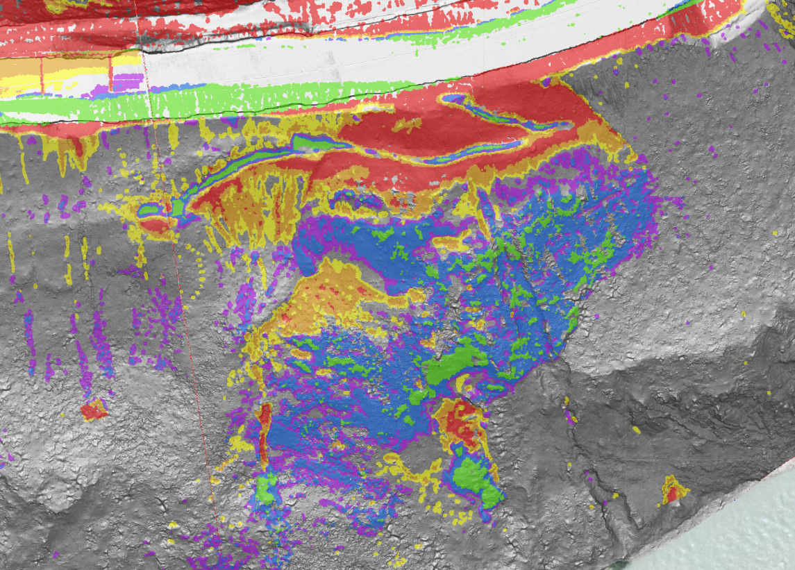
Developed an interactive Change Detection Layer showing differences within +/- 10 cm between epochs, allowing for the immediate identification terrain movement or slide precursors.
Centralized Data Management:
Designed a comprehensive GIS web database to centralize all deliverables, providing a single "source of truth" for movement trends over the 32-month project lifespan.
Geographic Reach: A North American Footprint
While our headquarters remains in Calgary, our operational reach has expanded alongside our technical capabilities. In 2005, we began by serving Alberta and British Columbia. Today, MSI is a cross-border geospatial partner with the proven ability to mobilize in diverse and extreme environments.
6921 48 St SE
Calgary, Alberta
T2C 5A4
+1 (403) 283-3773
© 2026 Measurement Sciences Inc. All rights reserved.