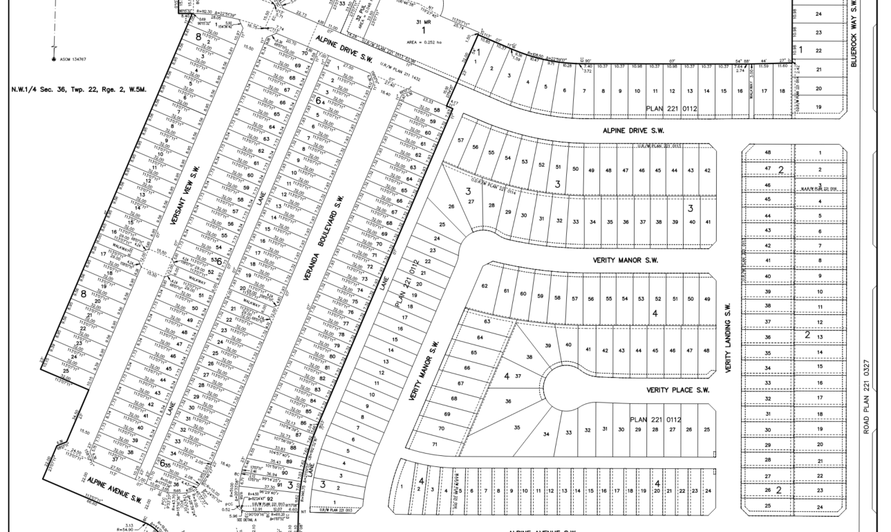
Large Scale Land Development
MSI provides comprehensive cadastral surveying services, establishing the legal frameworks required for land development, infrastructure corridors, and property boundaries. With a track record of managing over 3,500 acres of multiphase municipal subdivisions, we combine traditional surveying principles with advanced data acquisition. MSI’s Alberta Land Surveyors (ALS) and professional staff ensure that every project—from high-density urban developments to remote crown land dispositions—is executed with precision and professional accountability.
Core Technical Capabilities
Subdivision Surveys:
Preparing lotting concepts, managing applications with subdivision authority, preparing supporting legal documents and final survey plans for registration at the Alberta Land Titles Office.
Property Boundary Surveys
Establishment and retracement of legal property boundaries.
Right-of-Way (ROW) Surveys
Preparing right-of-way plans to support design and construction of pipelines, transmission lines and transportation corridors across multiple jurisdictions.
Topographic Surveys
Detailed surface mapping to support engineering design and municipal grading requirements.
The MSI Technical Edge
Cadastral surveying at MSI is backed by 20 years of “Technical Grit” and a high-mobility field team.
Knowledge and Expertise:
We utilize 20 years of experience working in the Calgary area land development industry to provide our knowledge of land use bylaws, application and municipal processes, project timelines, resolving subdivision conditions, and preparing subdivision packages for registration at the Alberta Land Titles Office to support our clients’ projects. We also offer our expertise in dealing with legal documentation associated with subdivision surveys such as consents, discharges, caveats, easements, restrictive covenants and right-of-way agreements.
Integrated Technology
We supplement traditional total station and GNSS data with aerial LiDAR and UAV photogrammetry to provide clients with a more comprehensive understanding of their land assets.
Scalability
Having completed over 3,500 acres of subdivision work, we have the institutional knowledge to handle the logistics of multi-year, multi-phase development projects.
Safety-First Operations
Remote sensing often requires mobilization in remote or hazardous areas. MSI operates under a COR-certified safety program, with field teams specifically trained in Bear Awareness, Snowmobile Safety, and Industrial Fall Protection. We maintain verified compliance with ISNetworld, Avetta, and ComplyWorks, and prioritize the use of autonomous UAVs and long-range aerial sensors to minimize ground-personnel exposure to high-risk environments like unstable slopes or active utility corridors.
6921 48 St SE
Calgary, Alberta
T2C 5A4
+1 (403) 283-3773
© 2026 Measurement Sciences Inc. All rights reserved.