Geotech Program
Scalable hybrid GNSS and LiDAR monitoring for high-precision surface deformation tracking across major energy infrastructure.
Hydro Program
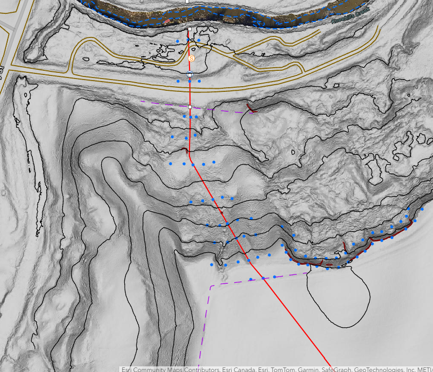
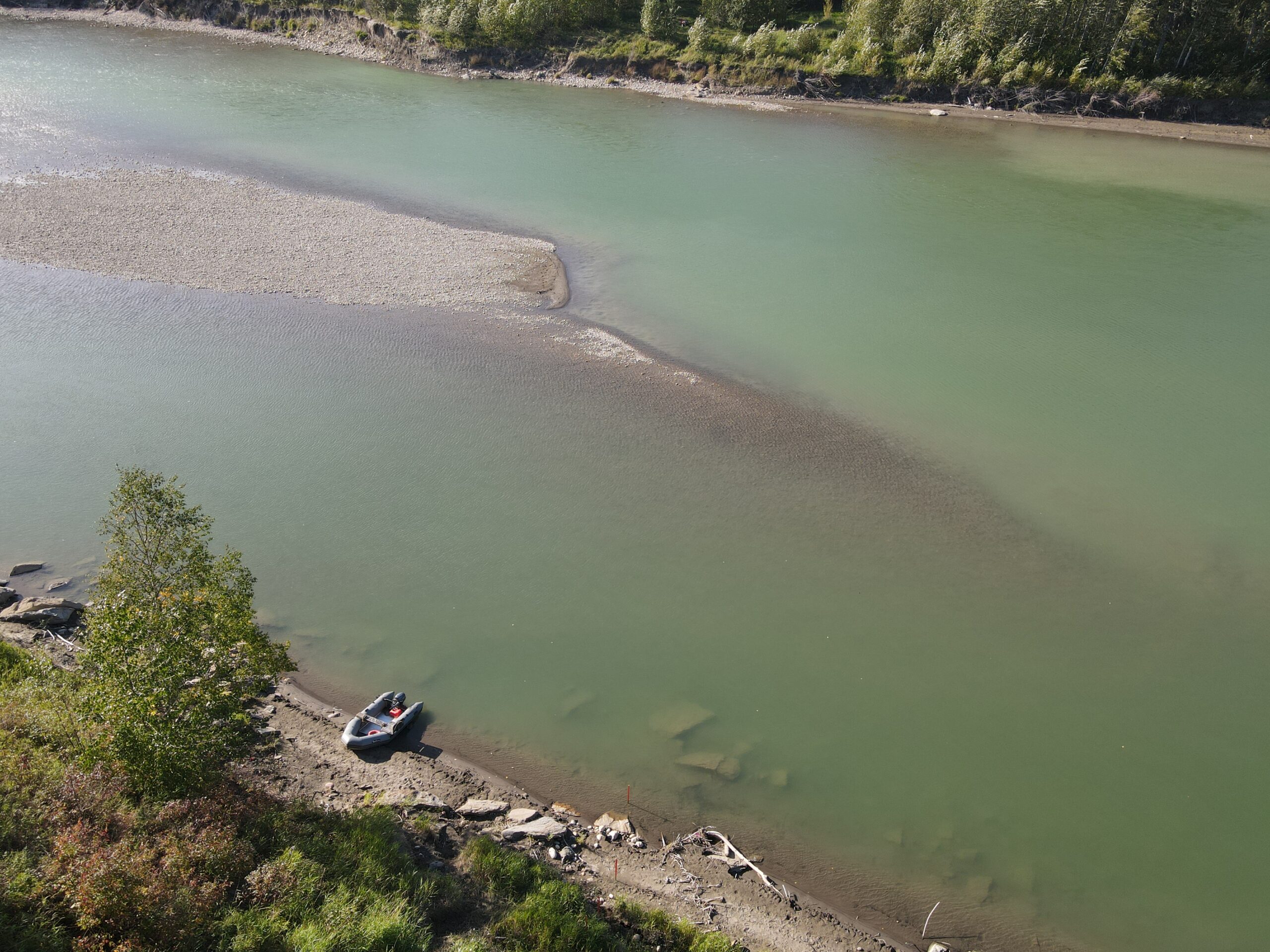
High-precision Depth of Cover monitoring at over 2,000 volatile watercourse crossings across North America.
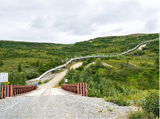
Kicking Horse Canyon Phase 4
High-order LiDAR deformation monitoring for complex slope stability and geohazard identification on Trans-Canada Highway.
View Case Study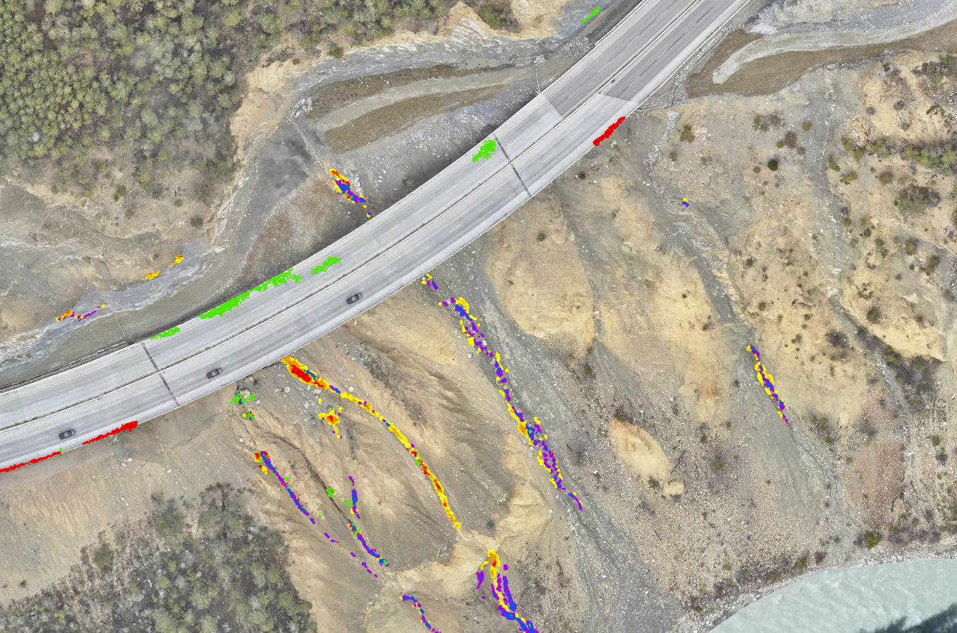
Jasper Fire Response

Rapid LiDAR and ortho-imagery deployment to assess post-wildfire damage and geohazard risks for Jasper's recovery.
View Case Study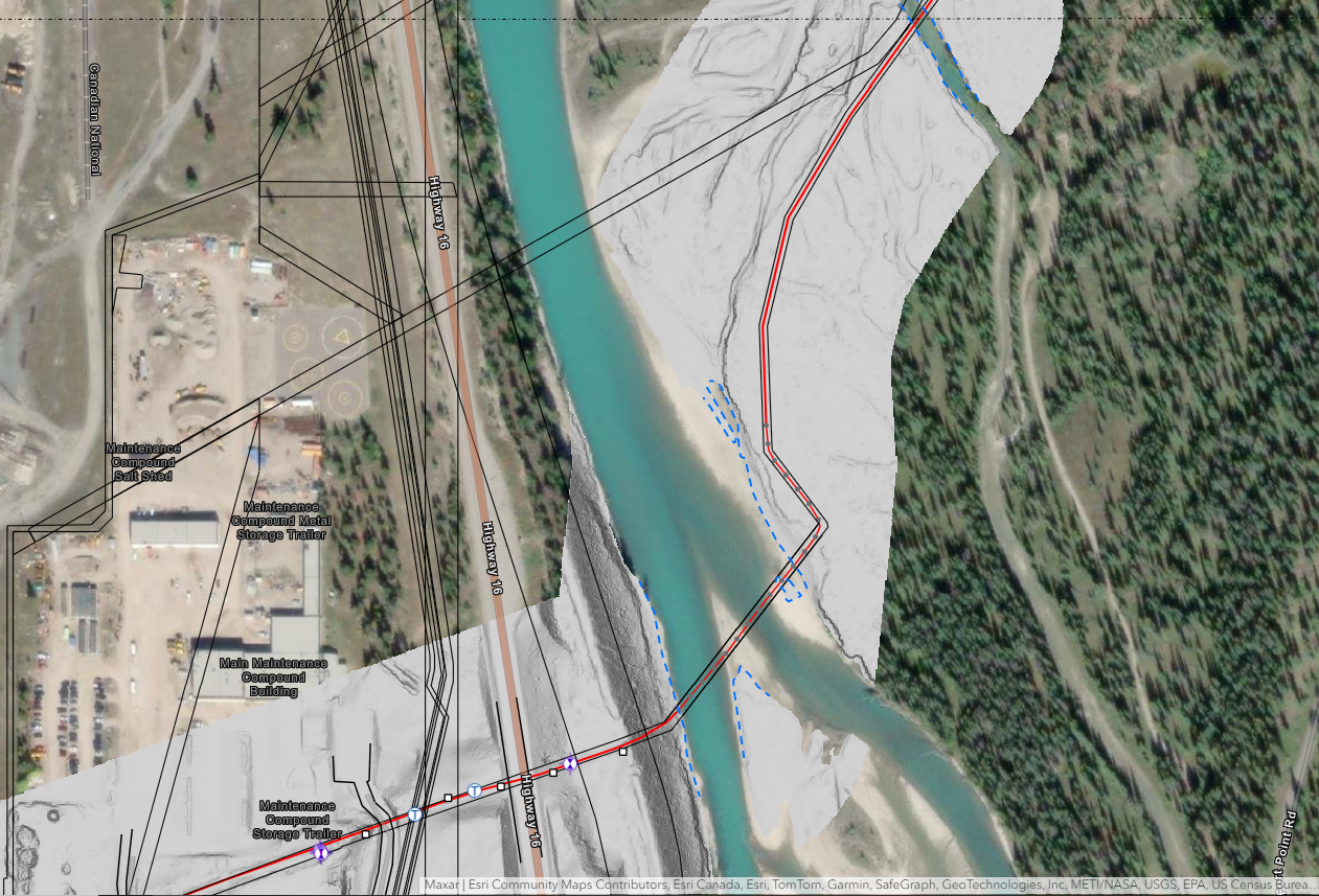
Geotech Program
Scalable hybrid GNSS and LiDAR monitoring for high-precision surface deformation tracking across major energy infrastructure.
Hydro Program
High-precision Depth of Cover monitoring at over 2,000 volatile watercourse crossings across North America.
LRT Monitoring

High precision laser scanning monitoring ensures Calgary LRT stability during adjacent multi-story building construction.
View Case Study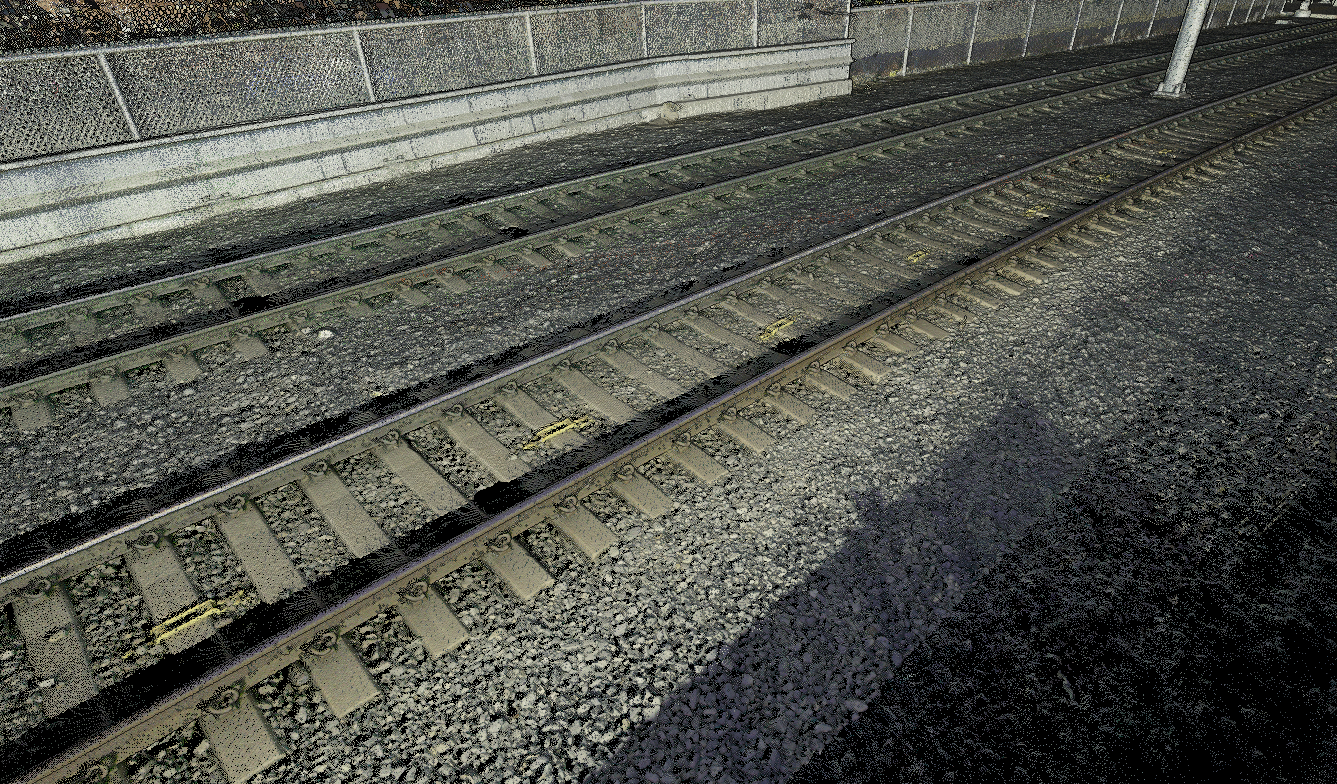
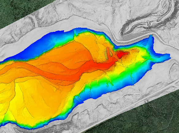
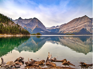
Barrier Lake
High density multibeam and LiDAR fusion reveals submerged river channels and provides TransAlta’s first complete reservoir digital twin.
View Case Study