MSI is an employee-owned company specializing in geomatics, land surveying and remote sensing. Established in 2005, it offers precise deformation monitoring and bathymetry services using advanced technologies such as LiDAR and drone sensors. Serving clients in the energy, infrastructure, and land development fields. MSI is known for its knowledgeable team and dedication to a high performing safety culture. The company consistently delivers accurate results and operational excellence, making it well suited to tackle even the most challenging projects.
The Foundation
Founded in 2005 in Calgary, Alberta, MSI was established with a specialized focus on high-precision deformation monitoring and bathymetry. MSI’s origins in complex geomatics engineering set the standard for how we are known for today. These core disciplines remains the backbone of our operations, providing the rigorous data accuracy required for critical infrastructure safety.
The MSI Difference
As an employee-owned company, our success is directly tied to the success of our clients. This ownership model drives our core values of authenticity and commitment, resulting in industry-leading team stability. This longevity ensures that our clients benefit from deep institutional knowledge, project continuity, and a level of accountability that is rare in the consulting world.
0%
of our staff have been with MSI for over 5 years
0%
of our staff have been with MSI for over 10 years
Strategic Milestones & Technological Shifts
To meet the evolving demands of the energy, infrastructure, and land development sectors, MSI has consistently pioneered the integration of advanced technology:
2009
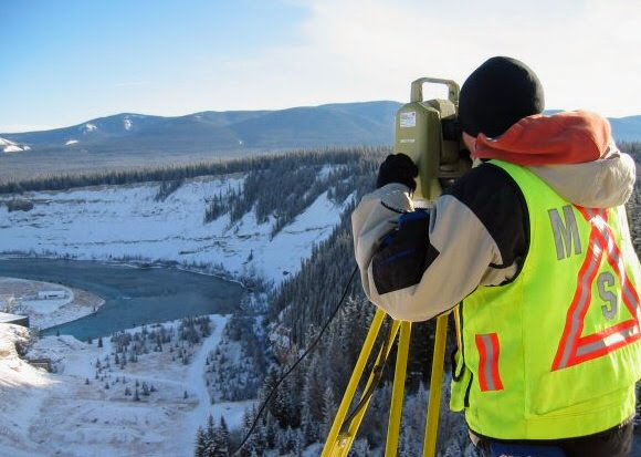
Began completing pipeline integrity surveys. Since then, we have completed over 2,000 hydrographic surveys and 700 geotechnical surveys, specializing in slope monitoring and real-time hazard detection.
2012
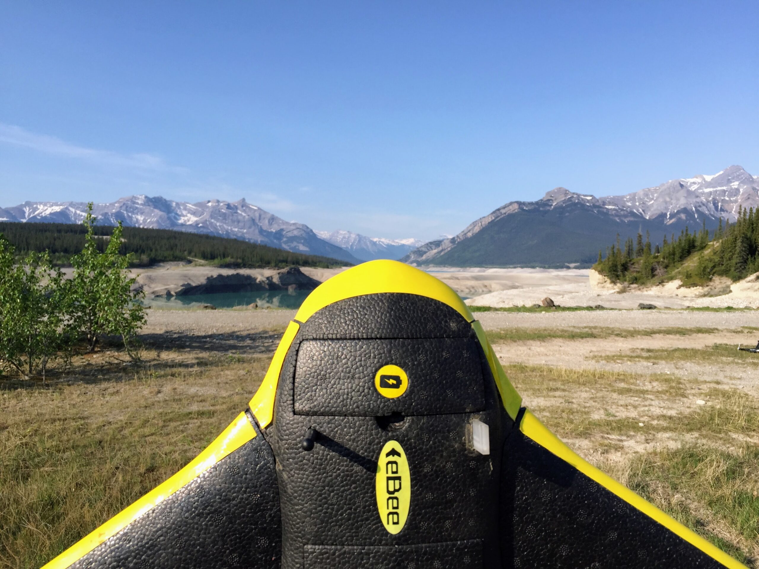
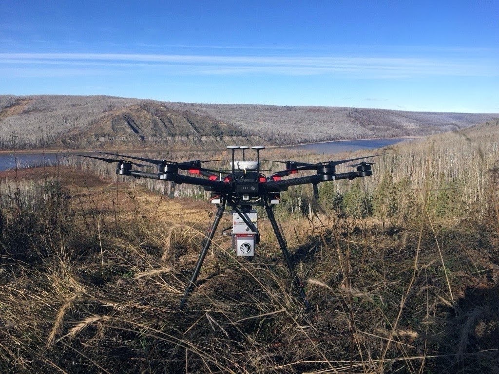
MSI purchased their first drone, which changed the trajectory of how we serviced clients. Thousands of drone flights have been completed since the inception of the program.
2016
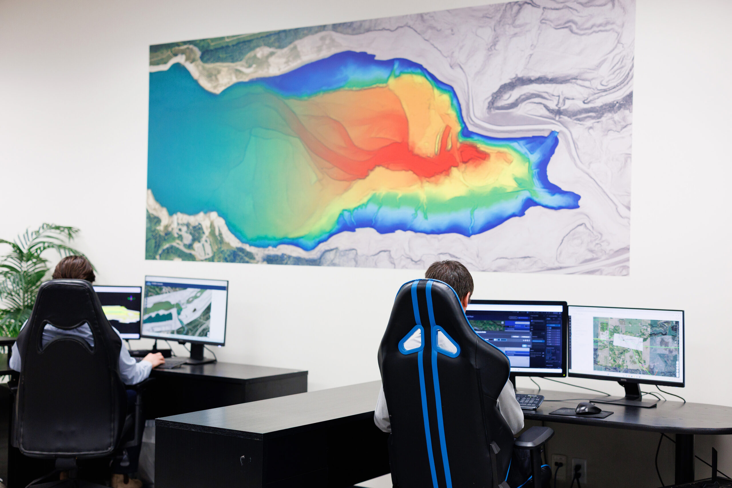
Acquired our first multibeam echosounder, revolutionizing underwater mapping with high-density 3D visualizations for river bottom analysis, bridge abutments, intake investigations
2018
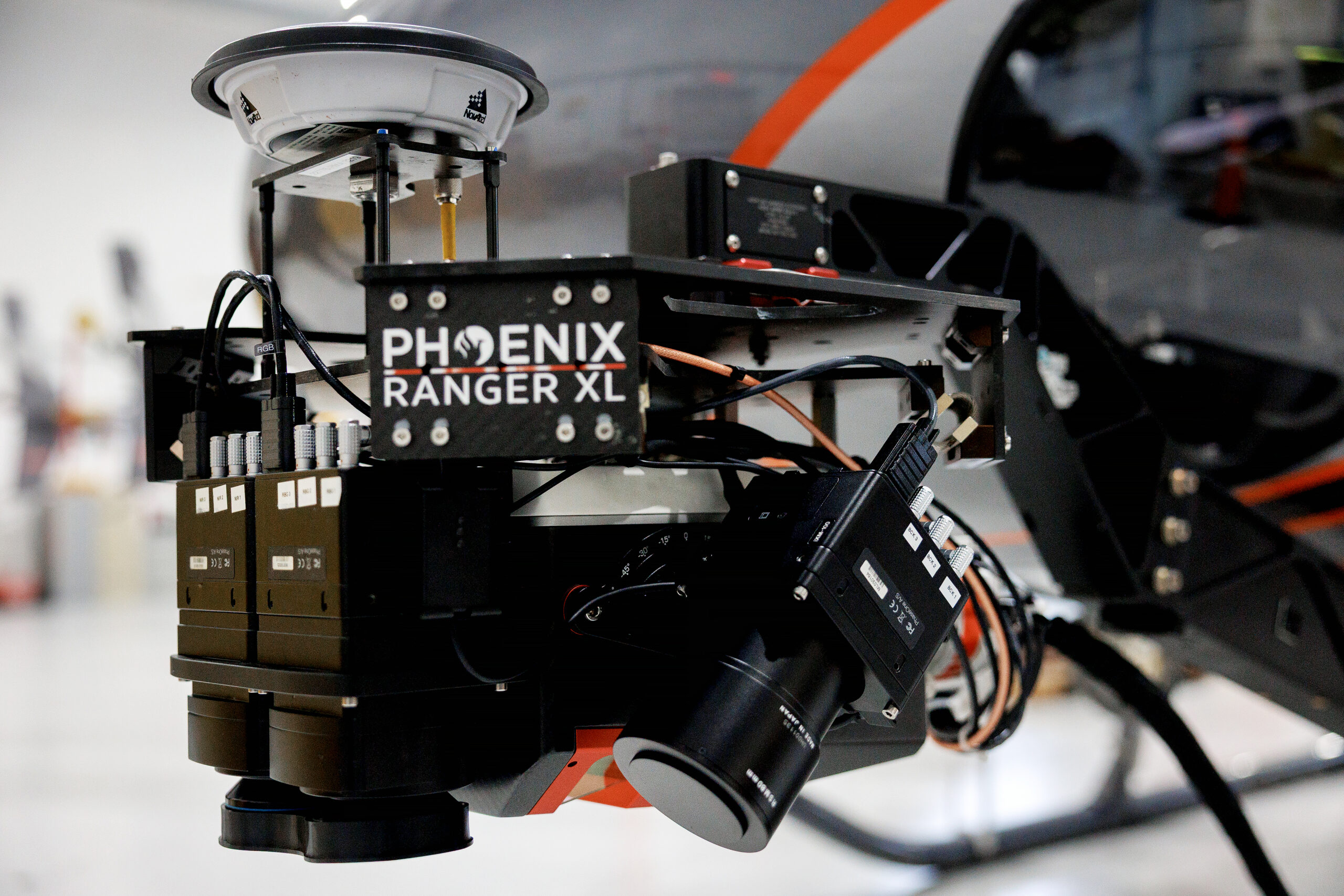
Integrated our first LiDAR sensor, transitioning into high-speed aerial data collection.
2026
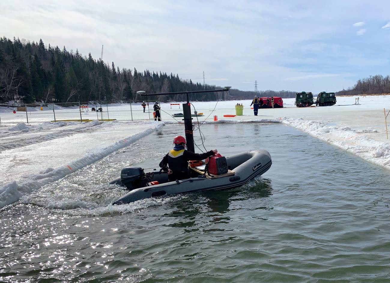
MSI operates an elite fleet of specialized equipment. Ranging from LiDAR sensors—UAV-mounted units to high-altitude fixed-wing systems— enabling comprehensive change detection and corridor mapping at any scale. Multiple single and multibeam echosounders and a fleet of drones with various capabilities. MSI is integrating a sub bottom profiler to its bathymetric capabilities and adding 4-band and oblique cameras to their Vux-240 remote sensing platform to enhance corridor mapping. By staying at the forefront of technological innovation, MSI delivers timely, accurate data to meet the most demanding project requirements and standards.
Geographic Reach:
A North American Footprint
While our headquarters remains in Calgary, our operational reach has expanded alongside our technical capabilities. In 2005, we began by serving Alberta and British Columbia. Today, MSI is a cross-border geospatial partner with the proven ability to mobilize in diverse and extreme environments.